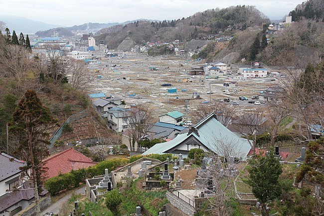
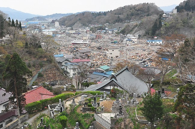
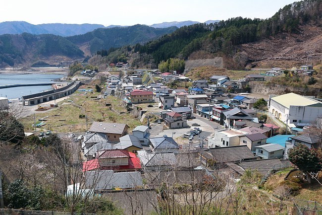
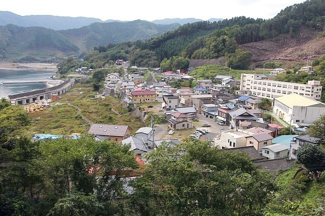
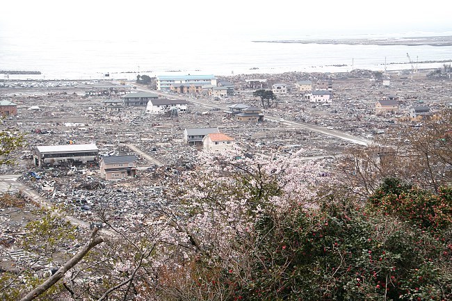
Four and a half years after the tsunami
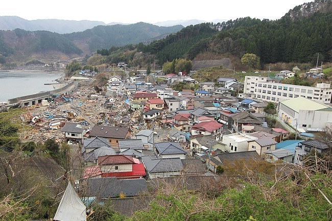
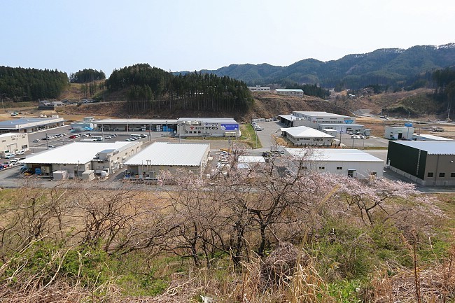
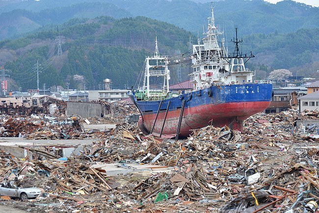
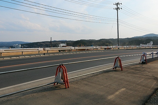
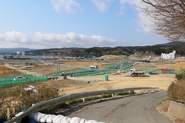
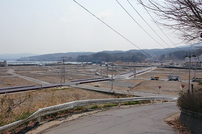
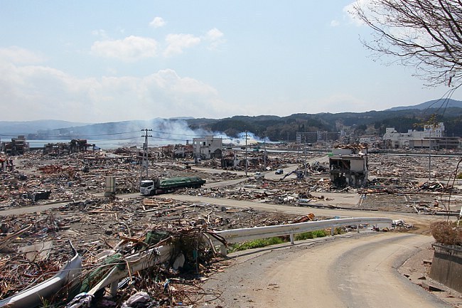
This is the ninth part (see also parts one, two, three, four, five, six, seven and eight) of an open ended series to document the recovery of the tsunami hit coast of northeastern Japan where nearly 20,000 people lost their lives, and entire towns were destroyed in the afternoon of March 11, 2011. Four years and a half after the tsunami, we revisited some of the worst hit cities along the Sanriku Coast in Miyagi and Iwate Prefectures on November 11-12, 2015.

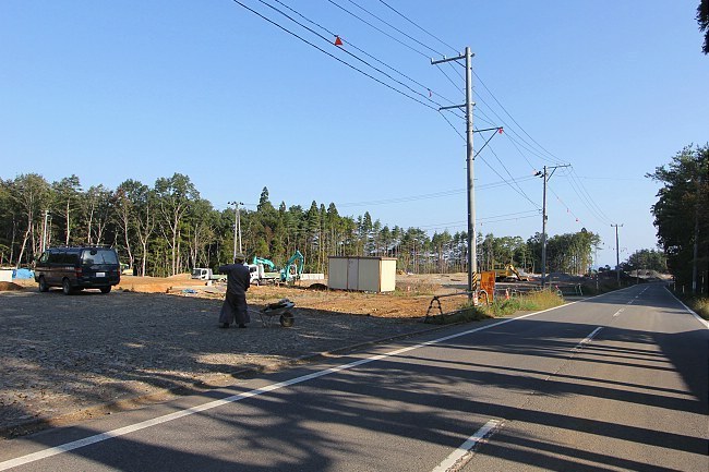
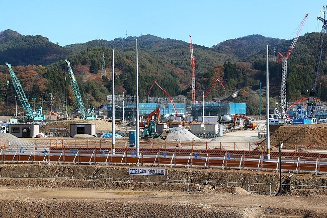
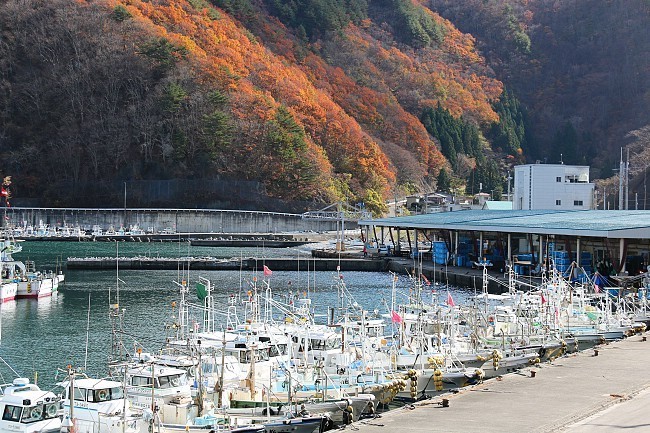
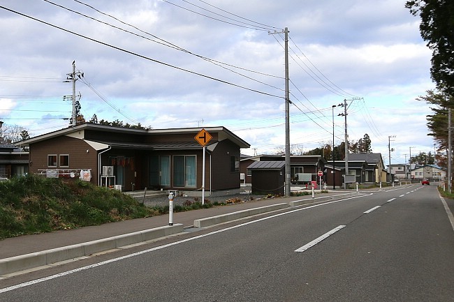
On this trip we witnessed further progress in the monumental project to raise the elevation of entire former city districts by several meters and in the construction of the Sanriku Expressway. We were also glad to see a growing number of completed, new residential districts along the coast and felt that the fishery industry and its infrastructure looked in increasingly better shape.
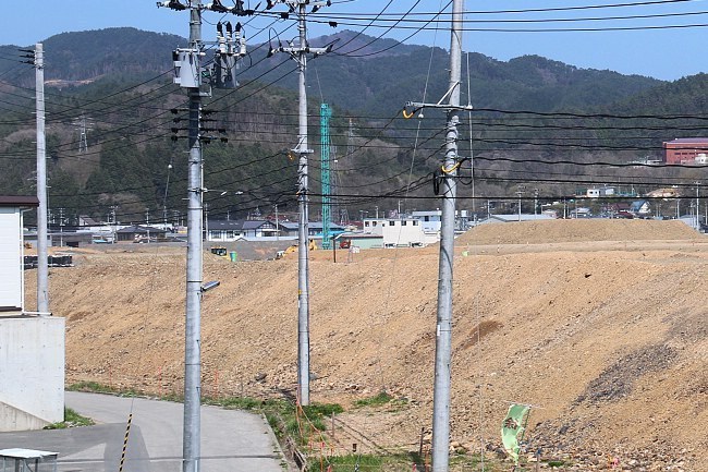
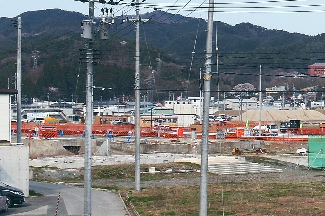
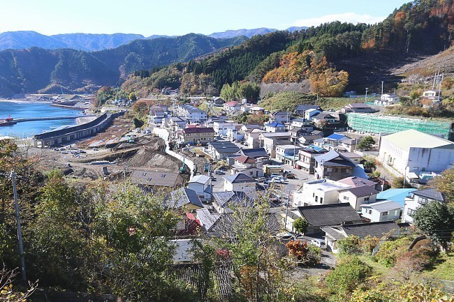
More and more people who lost their homes to the tsunami are finally able to move into new homes, many built on newly leveled plateaus outside the reach of future tsunami. Meanwhile, some low-lying, devastated city districts are being raised in elevation by several meters (some by over ten meters), another strategy to better protect them from future tsunami.
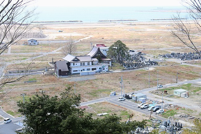
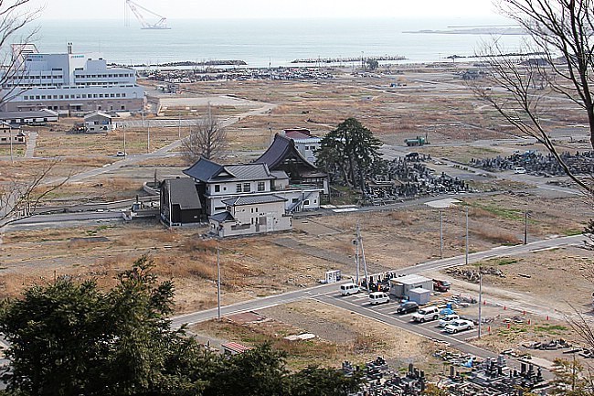
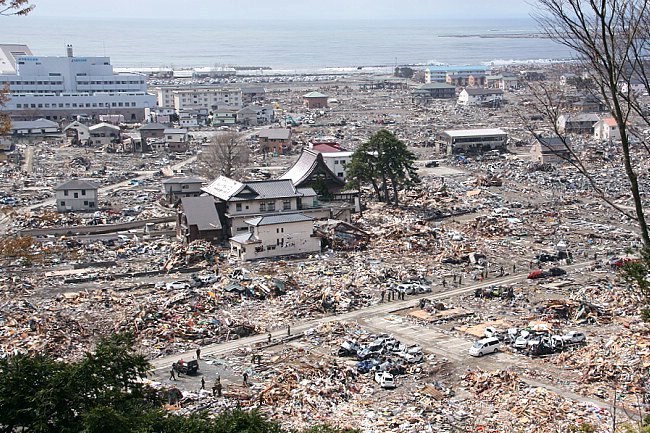
Compare: November 2015 - October 2013 - April 2013
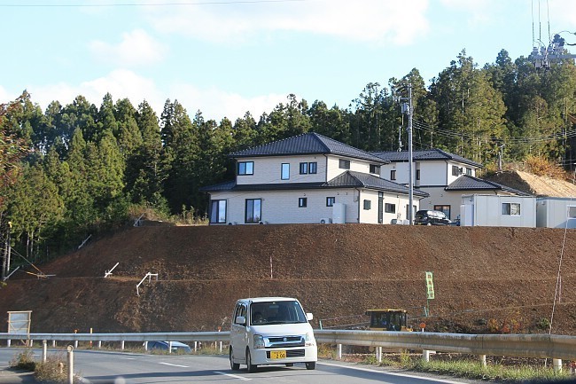
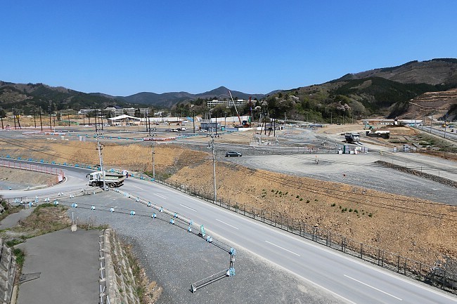
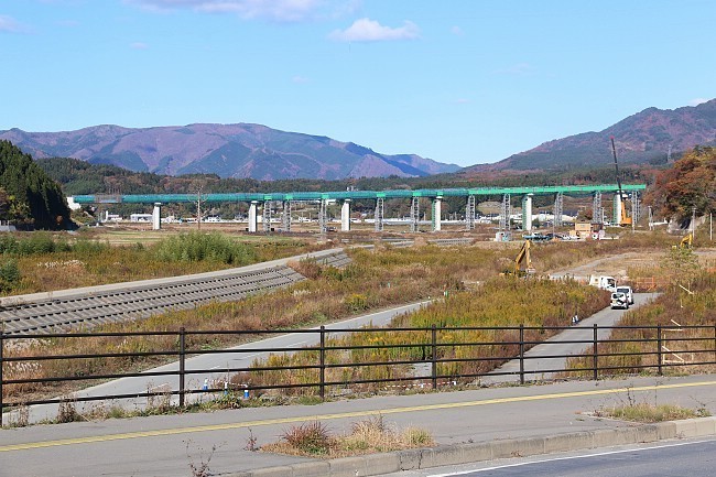
While driving along the hilly coast, the construction of the Sanriku Expressway was prominently visible in form of mountain slopes being leveled and spectacular new bridge constructions. The extended expressway will make access to and travel along the coast much quicker and easier which is expected to profit the remote region in various ways. Sections of the expressway are being opened one at the time with completion planned for around 2020.
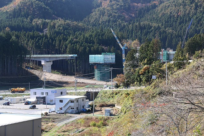
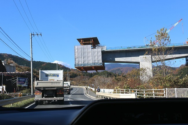
This time, we drove along the coast from Hachinohe to Sendai with a memorable overnight stay at the Horaikan in Kamaishi whose general manager (okami) continues to share her experience and thoughts about the disaster and reconstruction efforts with staying guests in daily presentations.
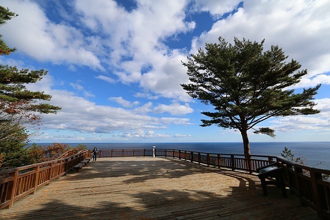
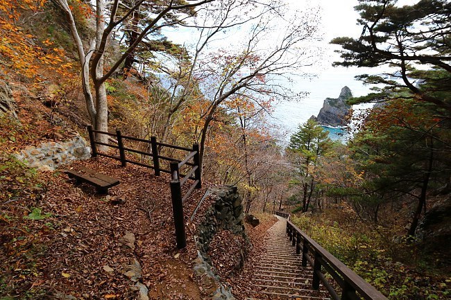
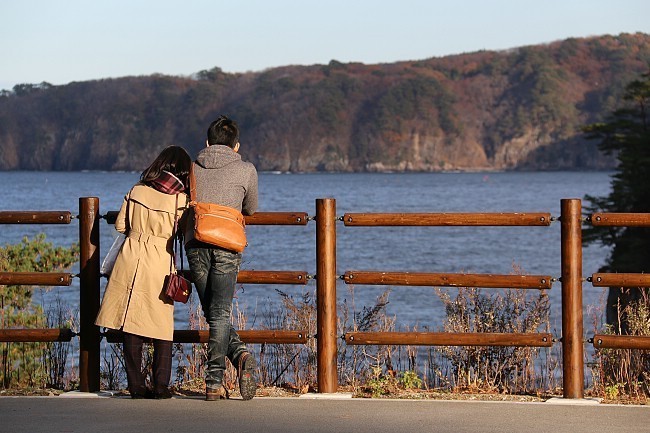
We first stopped at the Kitayamazaki Coast where the local section of the Rikuchu Kaigan Nature Trail has finally reopened. It is now possible again to walk down 700 steps to see the spectacular coastline from sea level and to follow the coastal trail for many kilometers. The trail is part of the "Michinoku Shiokaze Trail", a trail that will eventually follow the Pacific Coast of the Tohoku Region all the way from Aomori to Fukushima Prefecture.
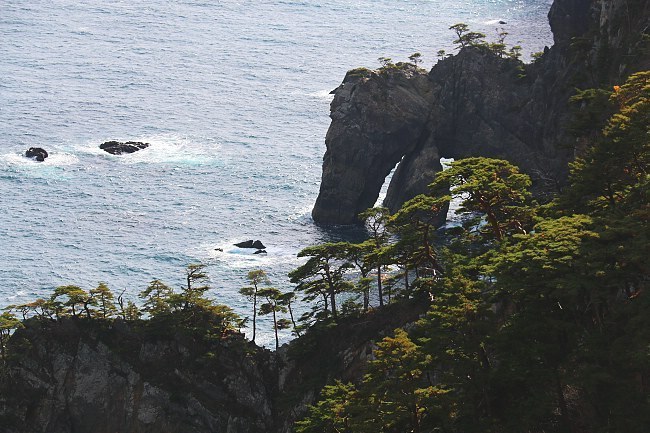
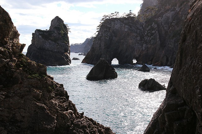
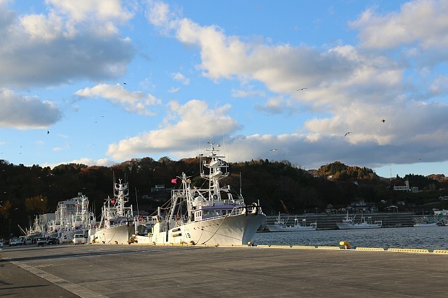
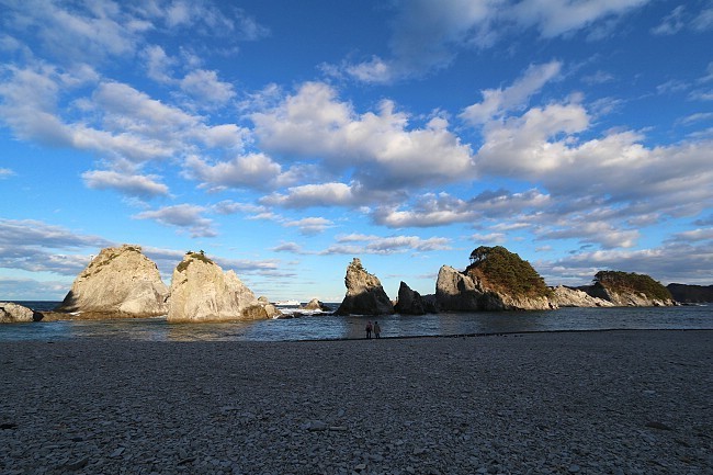
In Miyako, we found the fishing port in better shape and busier than ever before. Despite our visit relatively late in the season, we also met quite many fellow tourists at the beautiful Jodogahama Beach just outside of the city center.
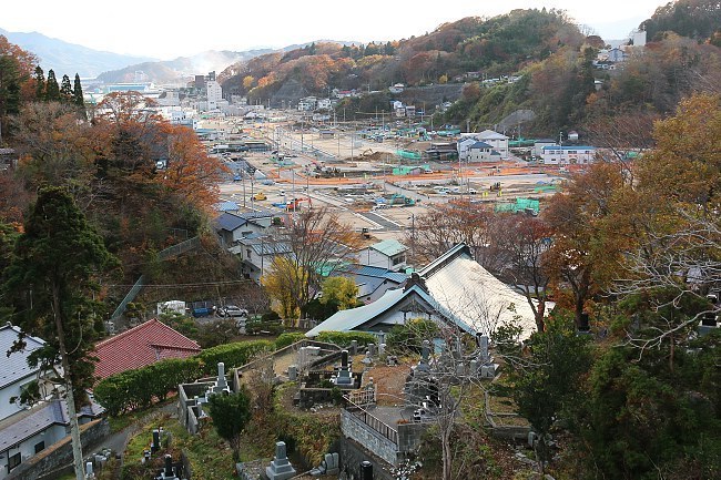
Compare: November 2015 - April 2015 - April 2014 - October 2012 - April 2011
Compare: November 2015 - April 2014 - October 2013 - April 2011
In Rikuzentakata, the dismantling of the giant conveyor belt system has started. The conveyor belt brought in the tremendous amounts of soil from nearby hills to raise the former city center's elevation by over ten meters.
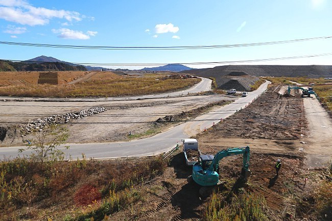
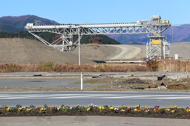
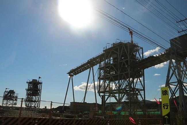
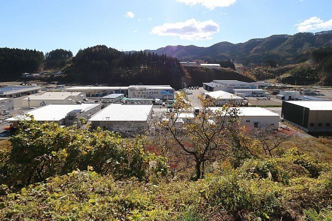
Compare: November 2015 - April 2014 - April 2013 - October 2012 - April 2011
In Kesennuma, we made a stop in the Shishiori district whose ground is also being raised by several meters. Judging by the large number of cranes newly brought in, actual reconstruction work has definitely started to kick in here, as well.
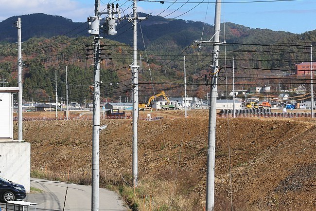
Compare: November 2015 - April 2015 - April 2014 - April 2013 - April 2011
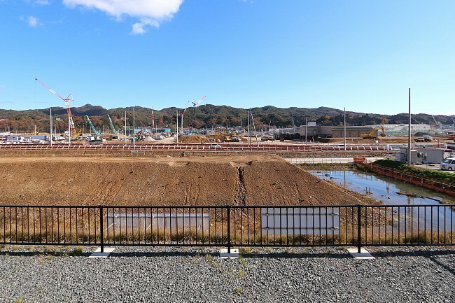
Compare: November 2015 - April 2015
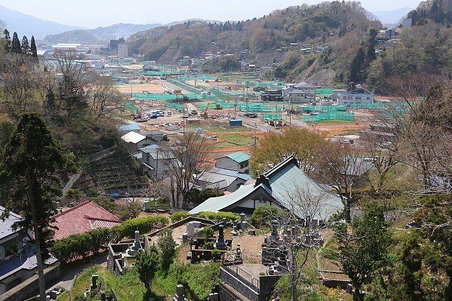
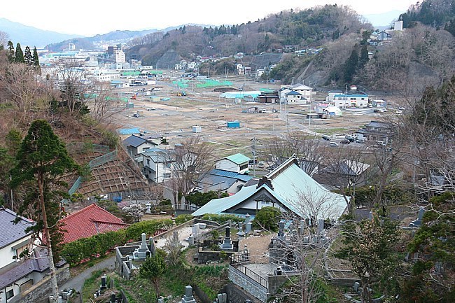
The road layout of Minamisanriku keeps changing with every visit, as the former town center is being raised by several meters. The Former Crisis Management Center, however, remains at level zero, surrounded by mountains of soil.
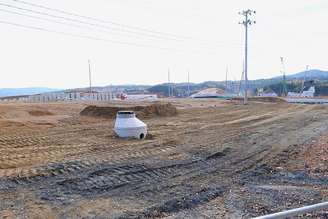
Compare: November 2015 - April 2015 - April 2014 - April 2013 - April 2011

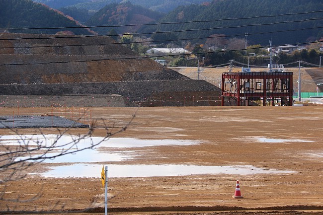
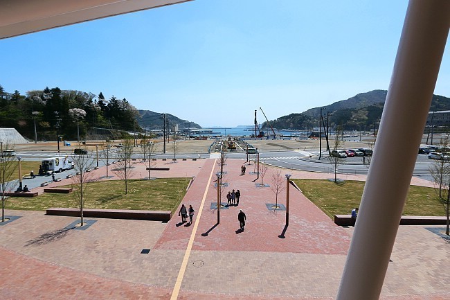
In Onagawa, last preparation works on the new pedestrian mall in front of the railway station were underway for the mall's opening in December 2015. Work on the adjacent memorial park will continue for some more time, but it was very nice to see these concrete signs of recovery.
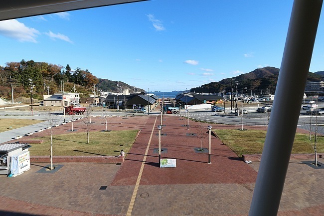
Compare: November 2015 - April 2015
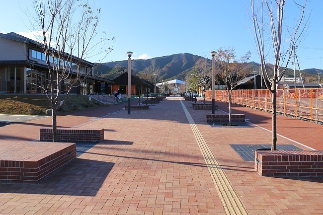
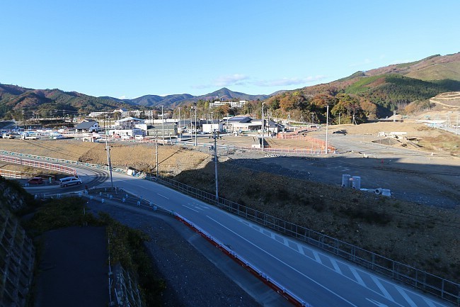
Compare: November 2015 - April 2015
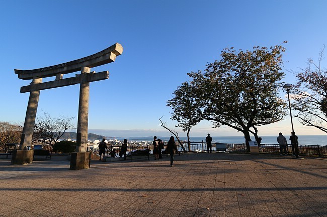
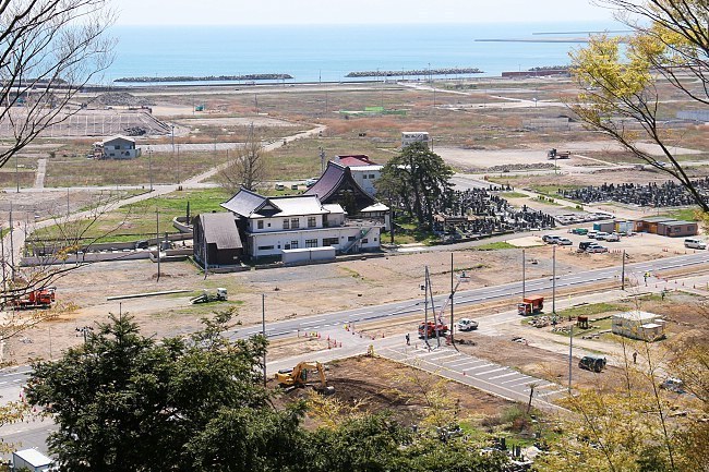
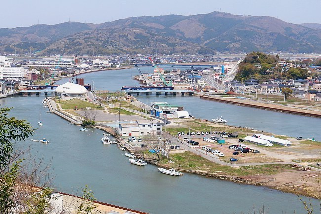
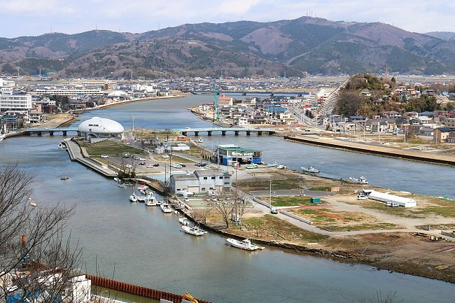
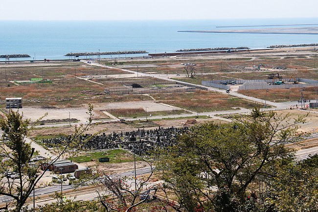
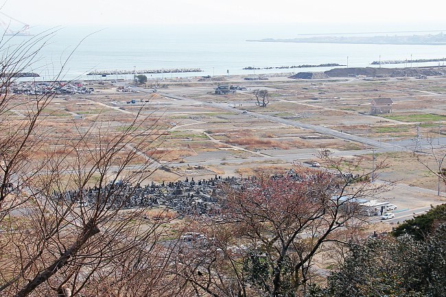
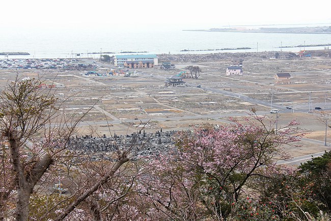
In nearby Ishinomaki, we visited the hilltop Hiyoriyama Park as always. For the first time, we were able to spot some major construction sites in the coastal district below that will eventually be transformed into a memorial park.
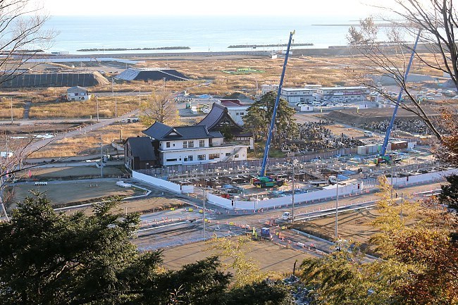
Compare: November 2015 - April 2015 - April 2014 - April 2013 - April 2011
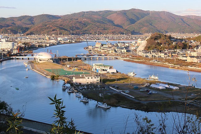
Compare: November 2015 - April 2015 - April 2014 - April 2013 - April 2011
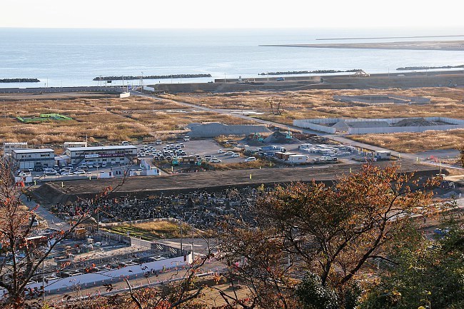
Compare: November 2015 - April 2015 - April 2013 - April 2012 - April 2011
