Autumn Color Report: Gunma
by Scott, staff writer of japan-guide.com
This journal is a log of my travels within Japan. Here you'll find my personal opinions on the places I've been and the things I've seen. Also expect to see the occasional review and editorial. Thanks for reading.
| previous post |
| next post |
2013/10/22 - Autumn Color Report: Gunma
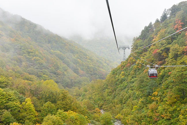
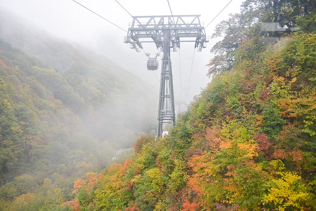
For today's autumn color (koyo) report I headed north to check out some of the mountains in northern Gunma Prefecture. First stop of the day was to Mount Tanigawa in Minakami Town. Mount Tanigawa, or Tanigawadake as its known in Japan, is a 1977 meter high peak on the border between Gunma and Niigata prefectures. It is listed among Japan's 100 famous mountains, and is a popular hiking, skiing, and autumn color spot. The mountain is also fairly accessible with a long ropeway that leads almost all the way up to the top.
Unfortunately, so far this year I've been a magnet for bad weather, and the forecasts were not that great for the entire week. Today's forecast was the best looking of the bunch, so we went ahead and scheduled the trip despite the cloudy skies. It finally dawned on me though when the fog enveloped my gondola car that cloudy weather on a mountain might mean that the cloud is literally on the mountain.
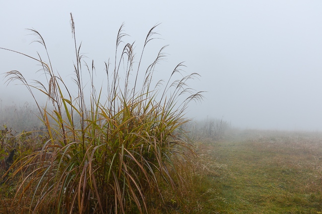
When my gondola arrived, the summit of Tanigawadake was total covered in fog. The visibility was only about 20 meters around the upper ropeway station and got worse the higher you went. Not exactly the best weather for panoramic vistas.
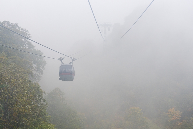
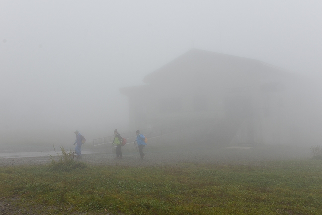
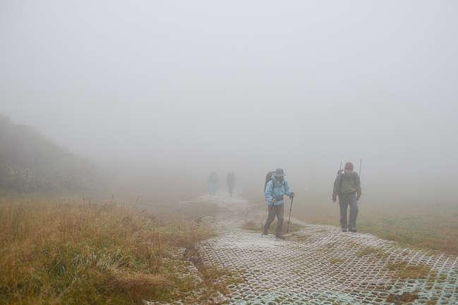
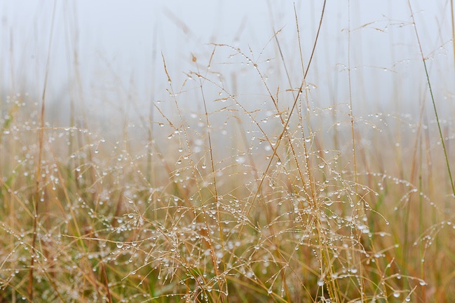
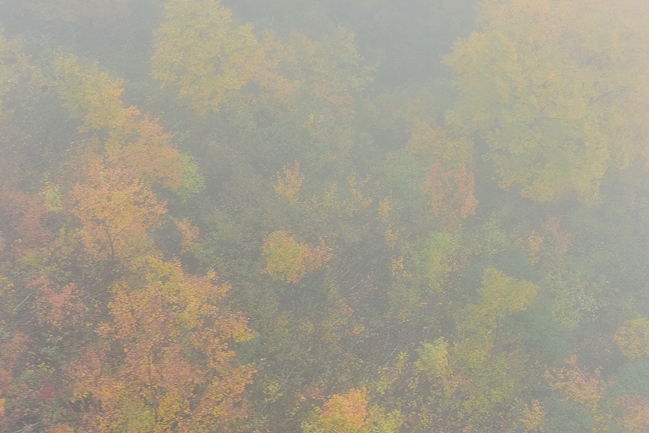
It was impossible to see the colors around the top due to the fog. All I was able to see were the grasses below my feet, but they did look like they had some color in them. I was able to see a few glimpses of color as I took the ropeway back down, and judging from those you might guess that the colors around the top would have been pretty nice, but perhaps still early in the season.
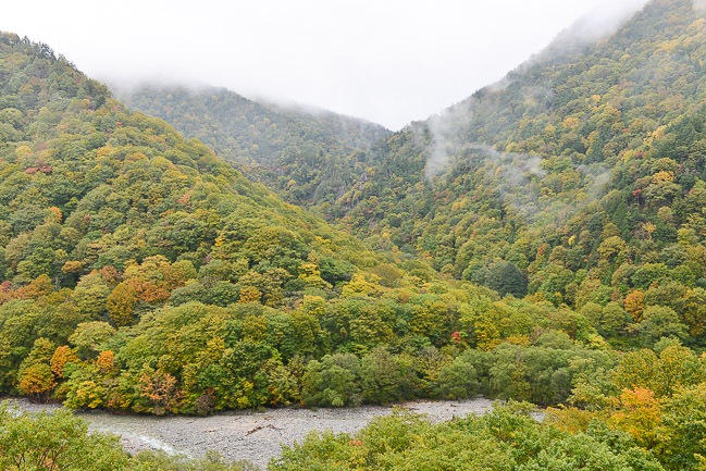
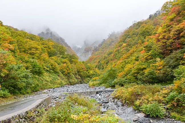
From the lower ropeway station you can walk or take a shuttle to Ichinokurasawa, another beautiful koyo spot a little bit deeper in the valley. You used to be able to drive in, but the narrow mountain road is now closed to private vehicles.
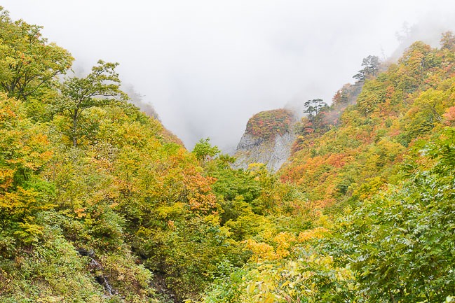
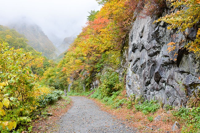
Since the weather was bad I took one of the tiny, 9 person shuttle buses (vans) that depart every 30 minutes from the station to the valley. I lucked out and when we arrived there was some momentary clear weather which allowed us to see some of the best colors of the day. It was still a little green around the bottom areas, but you could clearly see more reds and oranges further up the slopes.
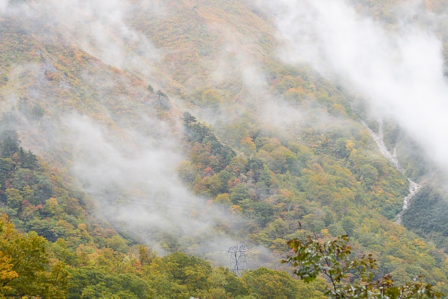
After departing Mount Tanigawa I drove over to Mount Akagi, which is considered one of the "three famous mountains of Gunma". There are some popular tourist spots around the summit such as Kakumanbuchi, a small marshland that is nicknamed "Little Oze" after the marshes found in nearby Oze National Park.
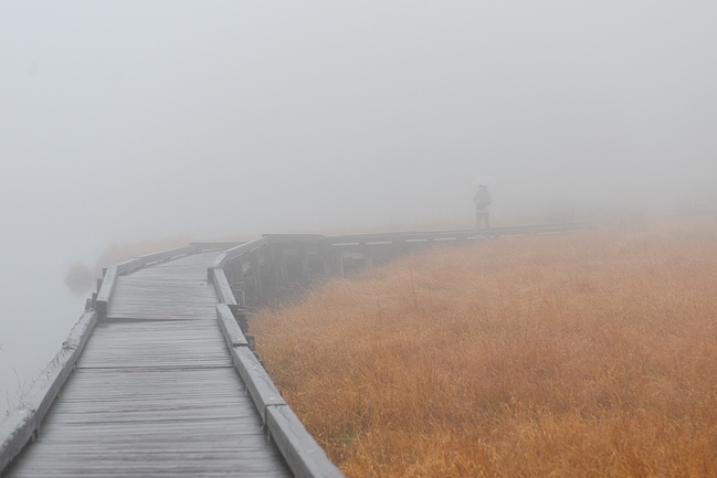
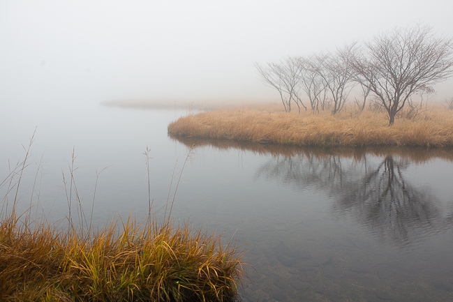
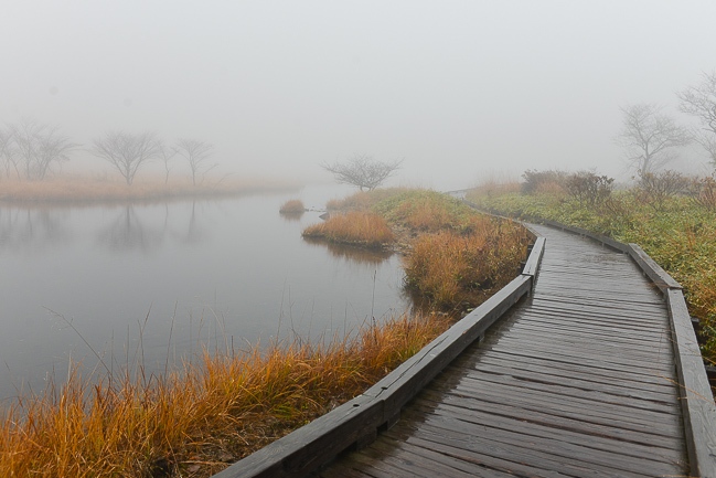
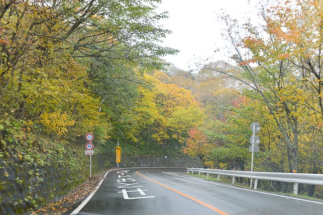
Unfortunately, the visibility here was almost as bad as around Mount Tanigawa, and it was difficult to see any nice sweeping vistas as I made my way around the pond at the center of the marsh. The marsh grasses were very orange today though, and the quick glimpses of koyo around the marsh suggest that there are nice colors to see right now, as long as the weather allows.
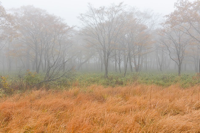
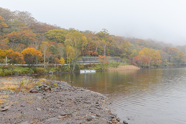
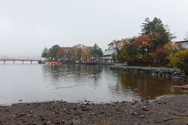
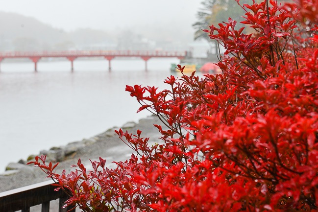
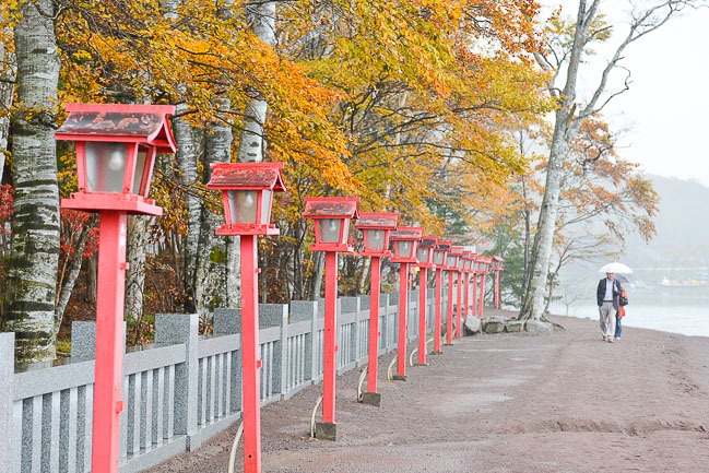
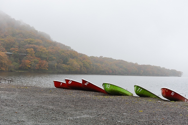
I ended my trip at Akagi Shrine, which lies on a peninsula on Mount Akagi's large Onuma Pond. Once again, what you could see of the slopes looked colorful, but still relatively green. The plants around the shrine were also starting to look nice and some of the azalea bushes were really starting to turn red.
| previous post |
| next post |


