Tohoku Series: Cape Tappi (竜飛崎)
| Travel Reports by Villagemayor | view profile of Villagemayor |
| previous post |
| next post |
| Note: The opinions and views expressed in this user report are those of the individual author and do not necessarily reflect the opinions and views of japan-guide.com. |
October 23, 2018 - Tohoku Series: Cape Tappi (竜飛崎)
This travel report is a continuing series highlighting the various destinations of the Tohoku Region. In this report I traveled to one of the most northerly sections of Honshu, Cape Tappi.
One amazing place to visit in Tohoku are some of the most northerly parts of the country. Cape Tappi is one of the most northerly part of Honshu Island and is to the north-north east of Aomori. Because this is such a remote location, driving is the only option. But if you have an International Drivers License and you are capable to drive, it is well worth it.
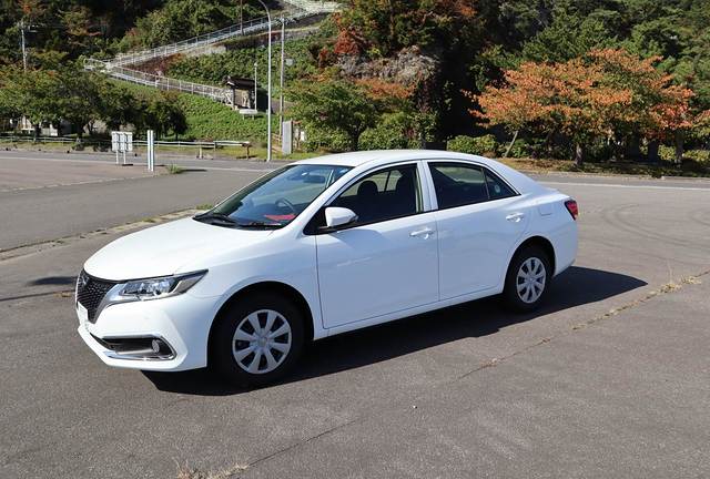
For starters, you might not need to drive to Cape Tappi, but it is still highly recommended based on the remoteness of the cape. Depending on your country of origin and whether your country is part of the Geneva Convention, you might be able to obtain an International Drivers License to legally drive in Japan. Based on my experience as a Canadian, I did not need anything else other than this special license to drive. A very good source of info is in the Japan-Guide link below, and I used this extensively.
https://www.japan-guide.com/e/e2022.html
From there you can rent a car on the same day, or reserve one online like I did. Again Japan-Guide has good information on car rental.
https://www.japan-guide.com/e/e2024.html
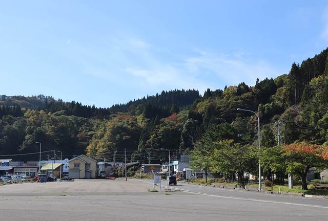
The drive from Aomori City was easy as the car had a navigation system in English. Entering the map data and away we go! Driving on the left side was easier than I thought except for the occasion turning on wipers instead of blinkers.
Eventually we arrived at Minmaya (三厩) which was a small fishing town just off the coast of Tsugaru Strait. The drive from Minmaya up to Cape Tappi was so relaxing as the highway hugs the coast for the entire time. Follow the directions to go to Cape Tappi.
Cape Tappi has a number of places to visit such as the Highway of Stairs. Engineers incorrectly surveyed the area and declared a section of stairs as Highway 339. The stairs go down the cliff about 100 metres to a fishing village. When you "drive" on the stairs you literally pass by homes and you can peer into the kitchens and dining areas.
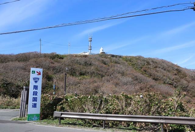
The fishing village itself is rather secluded and peaceful. There are a number of small inns to stay overnight if you wish.
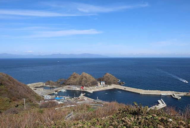
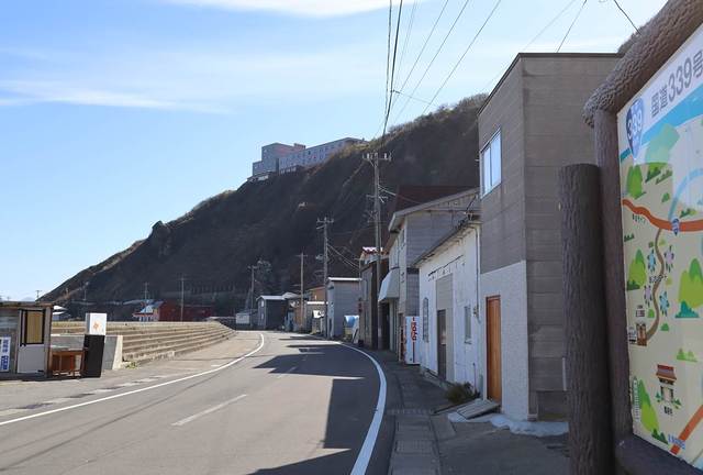
The second landmark is Cape Tappi and its trails that lead you to the base of these massive cliffs. Hiking even a small portion of the trail takes you to some incredible views of the cliffs and waters.
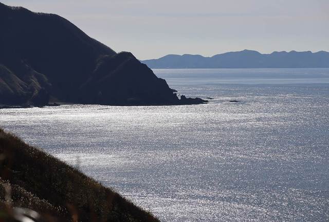
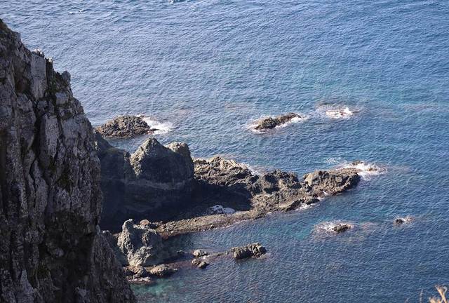
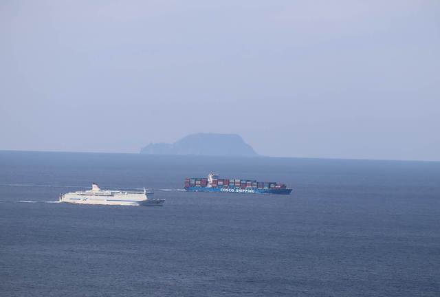
The third landmark is the Cape Tappi lighthouse and observation area that are perched on a high elevation. From here you can get an incredible view of not of the cape, but of Tsugaru Strait and the distant island of Hokkaido. You can also see container tankers and cruise ships plow through the waters.
I assume the vast majority of tourists would drive in from Aomori, which means you would be driving on the east side of Tsugaru Peninsula. I would advise to complete the loop and drive on the west side of the peninsula when leaving because some of the best views of the Sea of Japan in the area can be viewed from a few lookout points along the way. From here, drive along the coast to Lake Jusanko then back to Hirosaki, then back to Aomori.
Overall, this is one of the places very few tourists would bother going because it is so remote. However this makes a great day trip and ample opportunities for photography.
| previous post |
| next post |
